MANCHESTER SHIP CANAL CRUISE PART 1
Thursday 13th October 2011. Myself and my old mate Ged Fagan ( writer of the inacityliving books and website.. I plugged you Ged ) had our tickets for the Manchester ship canal cruise. We met up at St Anthony's church on Scotland Road then took the short drive to the river tunnel and across to Seacombe.
The morning started with a bit of murky skies, but it cleared up as the day went along and we even ended up with some nice sunshine. Not bad for Mid October.
This is a trip worth doing if ever you fancy it. It was a really enjoyable day that learnt me so much that I never knew about the Ship Canal and surrounding areas.
Thanks go to Ged for providing most of the information on what we saw along the way. Unlike me he was paying attention.
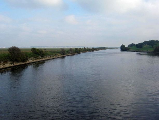
Opened in 1894, the Manchester Ship Canal was one of the last major canals to be constructed in Britain. It stretches for 36 miles from Eastham, on the southern shore of the Mersey estuary 6 miles from Liverpool, almost to the centre of Manchester.
The morning started with a bit of murky skies, but it cleared up as the day went along and we even ended up with some nice sunshine. Not bad for Mid October.
This is a trip worth doing if ever you fancy it. It was a really enjoyable day that learnt me so much that I never knew about the Ship Canal and surrounding areas.
Thanks go to Ged for providing most of the information on what we saw along the way. Unlike me he was paying attention.
Opened in 1894, the Manchester Ship Canal was one of the last major canals to be constructed in Britain. It stretches for 36 miles from Eastham, on the southern shore of the Mersey estuary 6 miles from Liverpool, almost to the centre of Manchester.
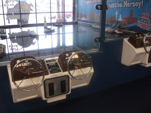
Ged could not wait to use his camera so here are two of his pics. The toy boats a Seacombe Ferry terminal and the walkway down to the landing stage. The cruise is normally aboard the Snow Drop ferry, but today we had the pleasure of The Royal Daffodil
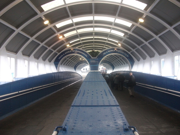
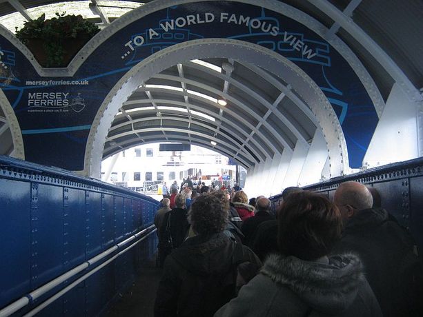
Down the ramp at Seacombe to board the Royal Daffodil ferry
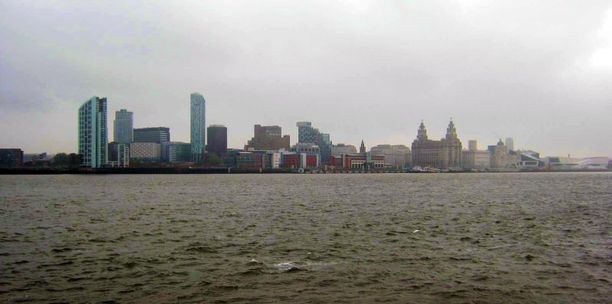
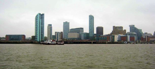
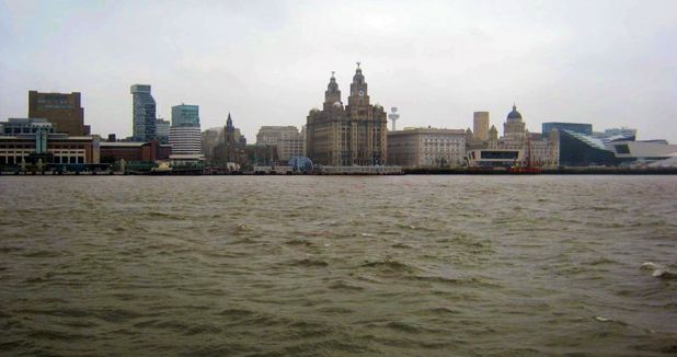
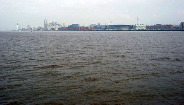
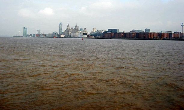
Taking in the Liverpool skyline
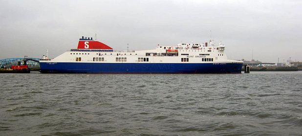
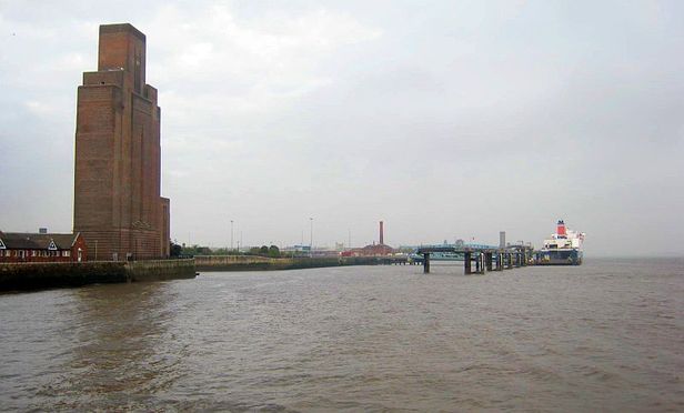
Stena Lines 'Stena Lagan' RORO Ferry. Loading at Birkenhead for the trip to Belfast. Seen also below in the shadow of the Queensway Tunnel ventilation shaft
The Mersey dredger which takes silt from the riverbed, You will see points along the canal where pipes are attached to its tanks to take the muck which is processed as sand and used in the building industry
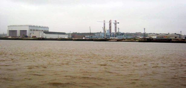
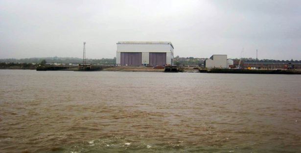
Cammell Laird
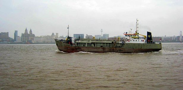
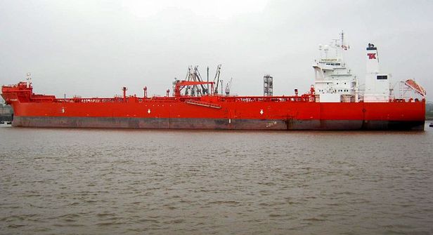
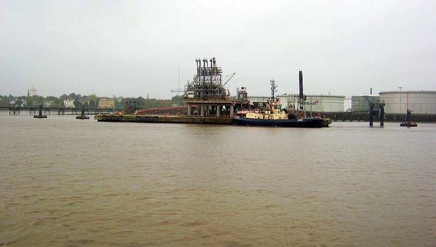
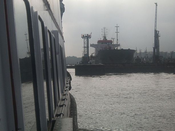
The PetroAtlantic crude oil tanker discharging its load at Tranmere. It then goes by underground pipelines to the oil refinery ( Formerly Shell ) at Stanlow
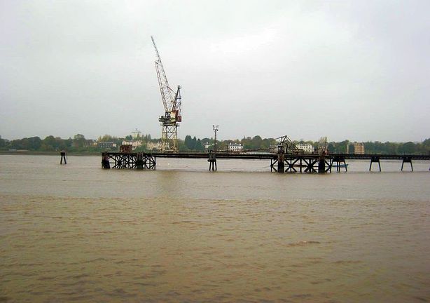
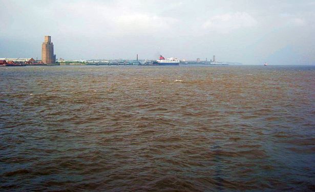
Old cranes on The Mersey
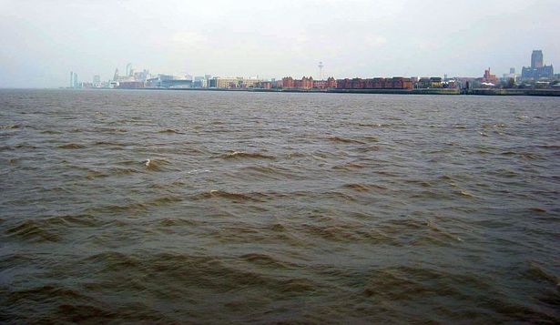
We were too early to enter the ship canal so they swung the ferry around for another look at Liverpool
The Belfast ferry over at Birkenhead
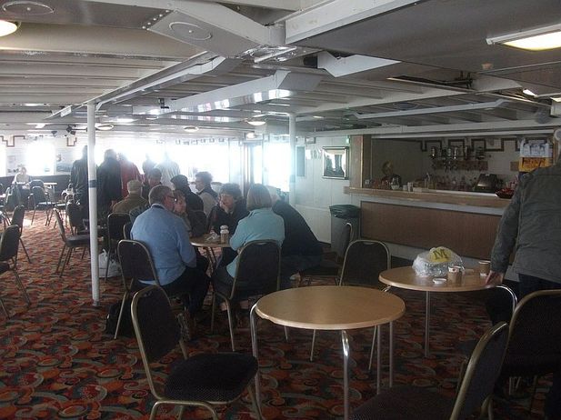
Two of Ged's pics. The cafe on the Royal Daffodil, and below Approaching the entrance to the Manchester Ship Canal at Eastham
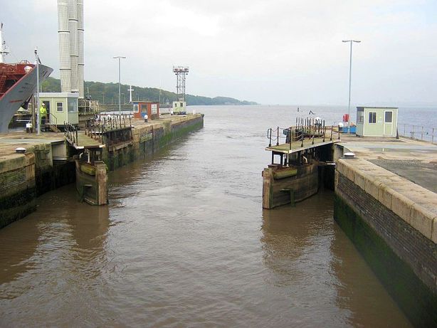
The Lock gates closing behind us
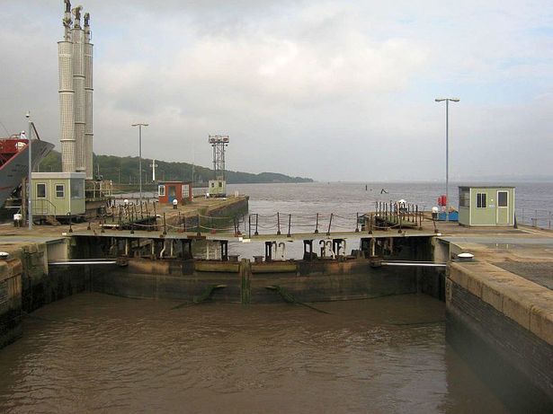
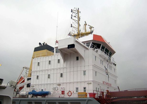
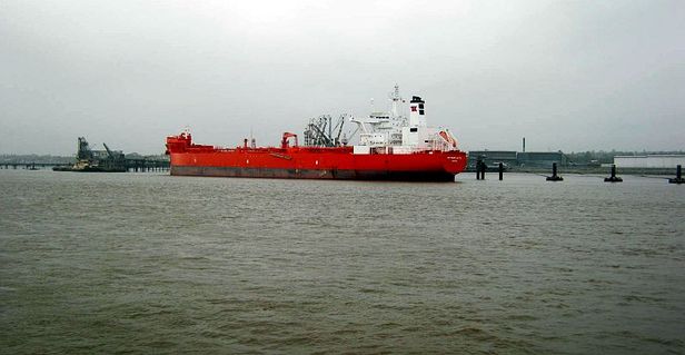
The tanker " Frank " was sitting next to us in the lock while she waiting to enter the Mersey and head out to sea
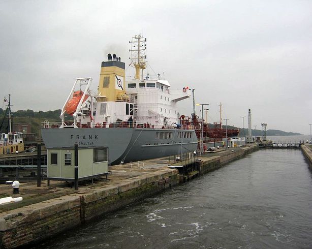
Off we go along the ship canal leaving Frank behind
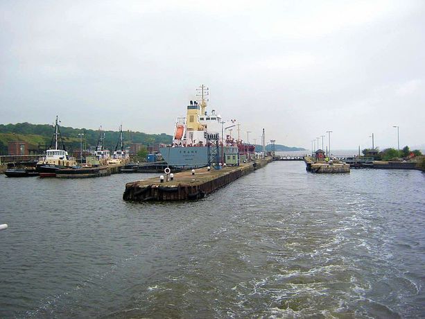
A boat moored up and a last look back at the entrance and Frank
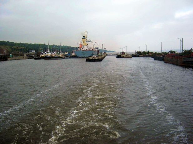
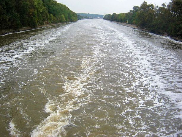
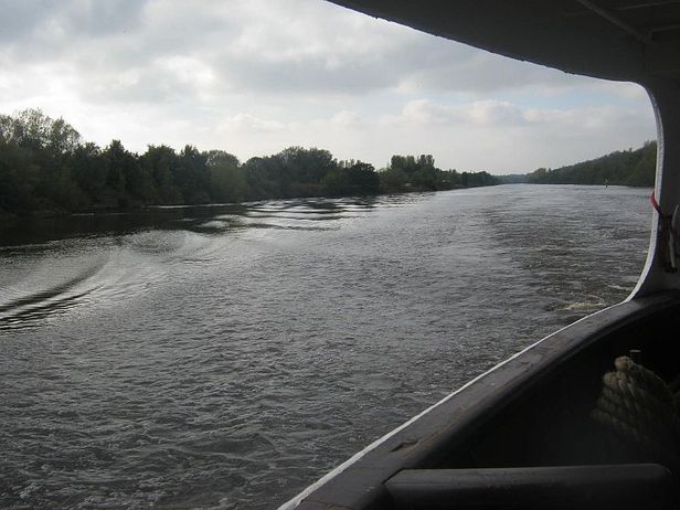
The swell from the rear of the ferry
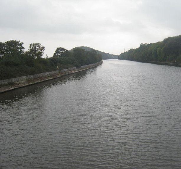
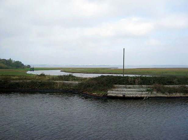
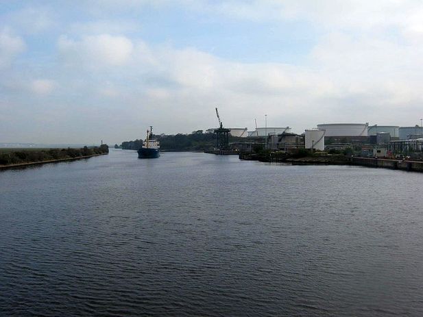
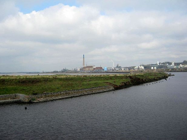
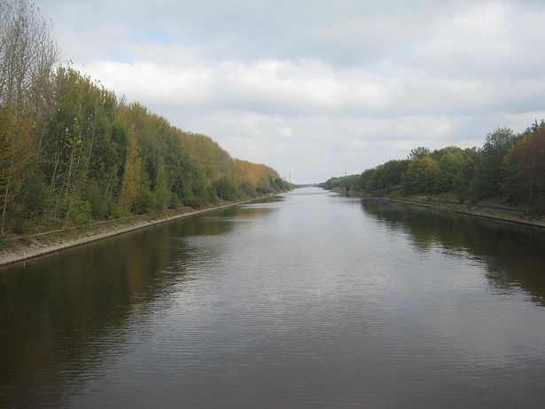
Even on a murky October morning the canal gives off great views. The land to the left seperates the canal from the river Mersey
The Clyde discharging imported coal which will then make its way to Fiddlers Ferry power station which we will see later. It's mad that it's deemed cheaper to import coal when we have so much still underground
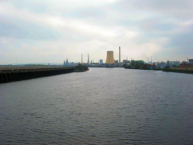
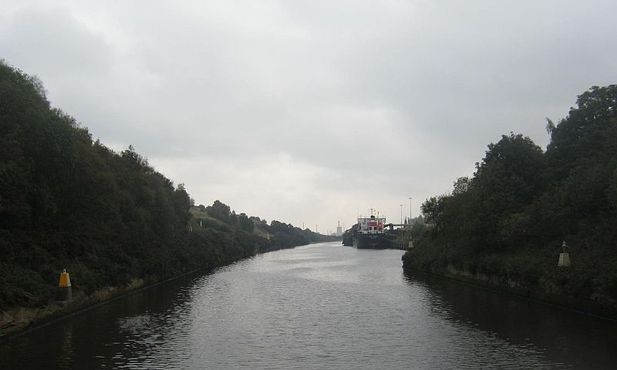
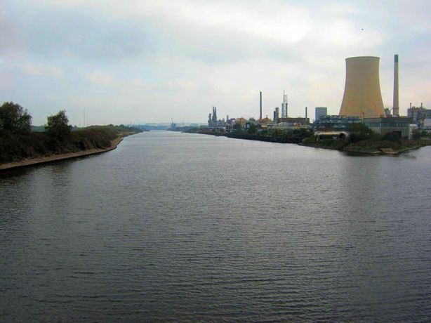
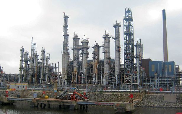
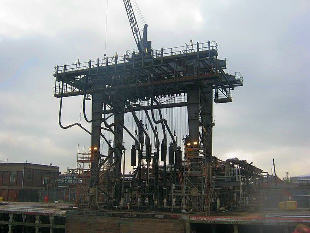
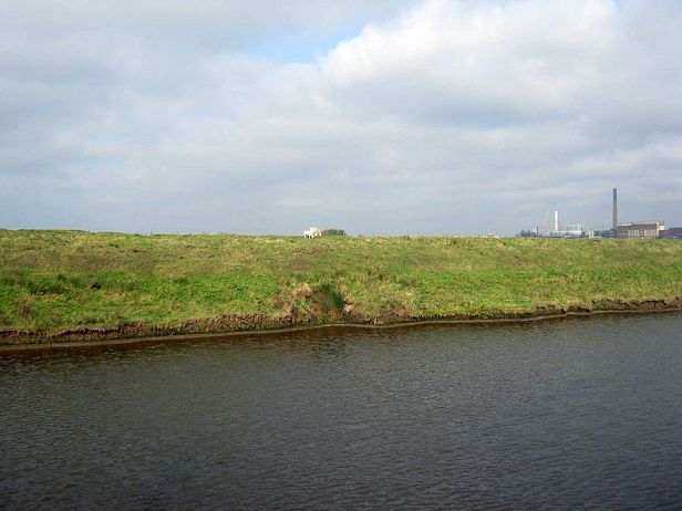
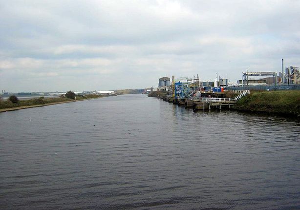
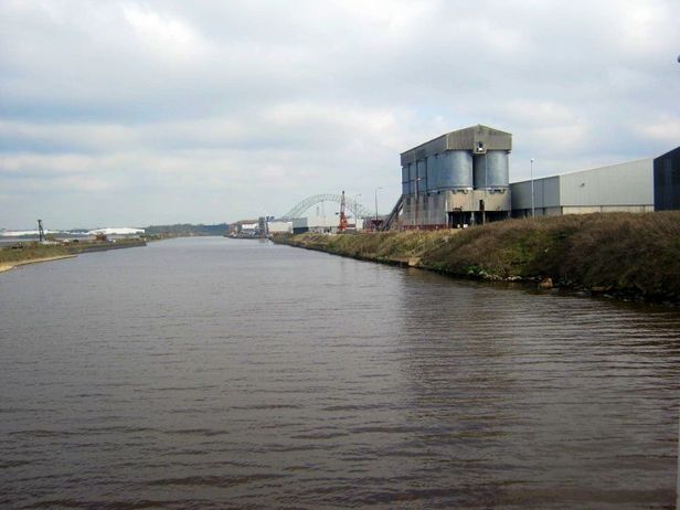
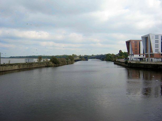
There were stretches of nothing and then pockets of light industry and some heavy industry
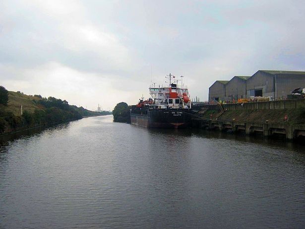
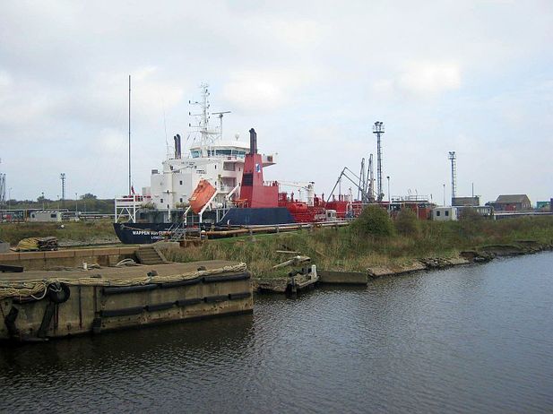
Here is a vessel with that good old British name of 'Wappen Von Flensburg' which is registered in London discharging its cargo on the Riverside of the canal
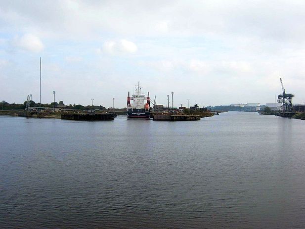
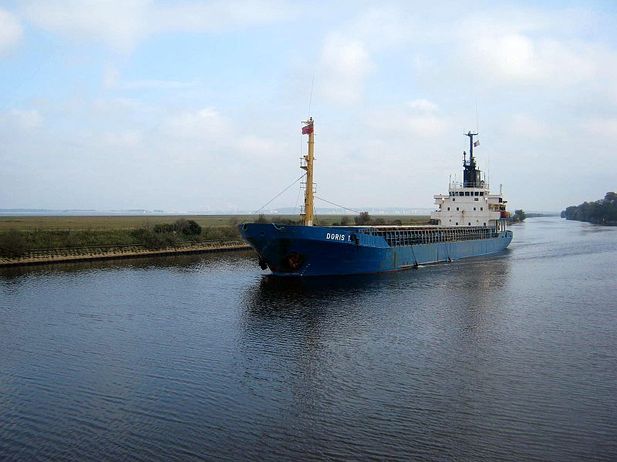
The " Doris T " passing us on the canal
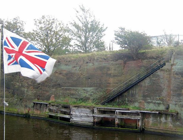
Canalside staircases like these were spaced along the landside of the canal for access to vessel berthing points to load or unload cargo for the industry at that point on the canal
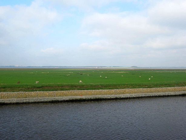
I don't think there was anyone who wasn't amazed by the next sight. I would have thought that the canal had land on one side and just a wall separating the canal from the Mersey on the other side, but there is actually land on the river side of the canal at this point. The Mersey here is at its widest, that's Hale lighthouse across the way. The farmer has to bring his sheep over on a boat to graze and to shear them. They are free from predators so thrive well
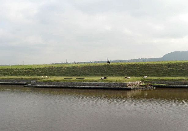
On the opposite side off the canal is cattle. Far too much trouble moving cows across the canal
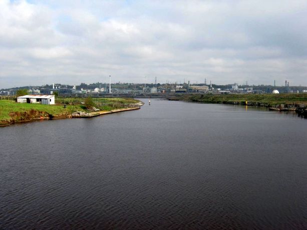
Looking towards the industrial lands at Runcorn
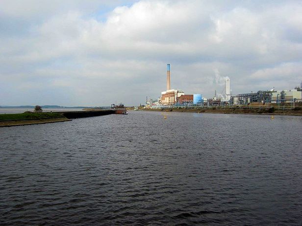
The former ICI works
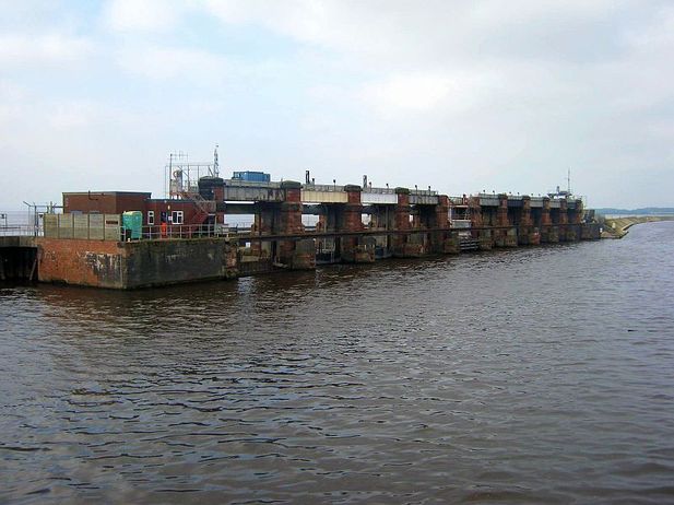
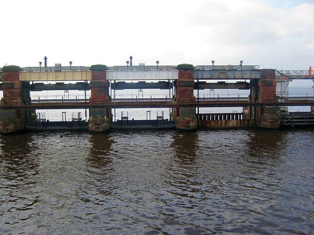
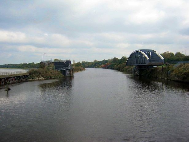
The Weaver Sluice upstream jetty water level controller
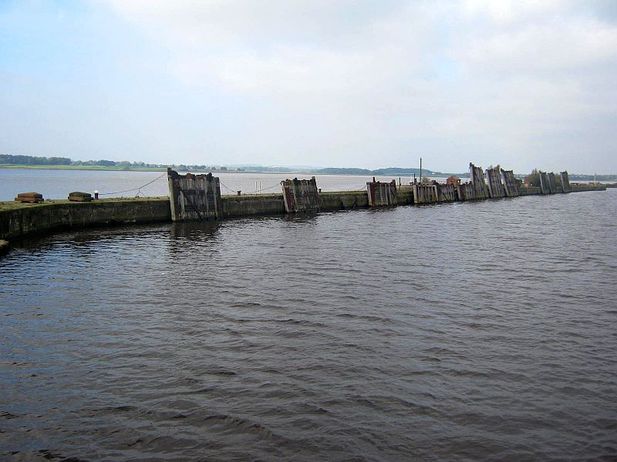
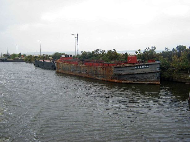
Old lock gates dumped along the canal bank
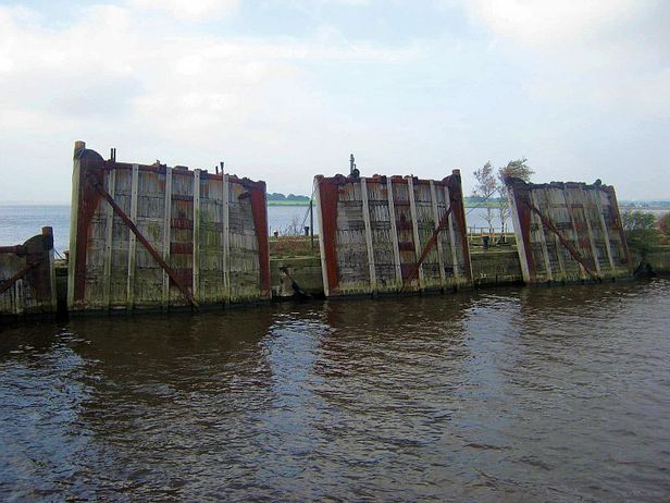
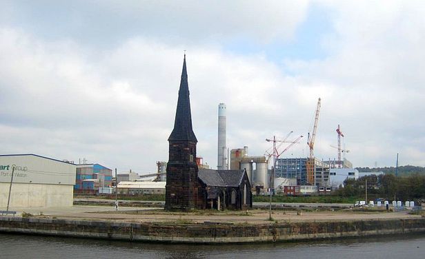
Ged called this the Old dock and lock gate cemetery
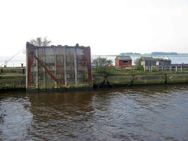
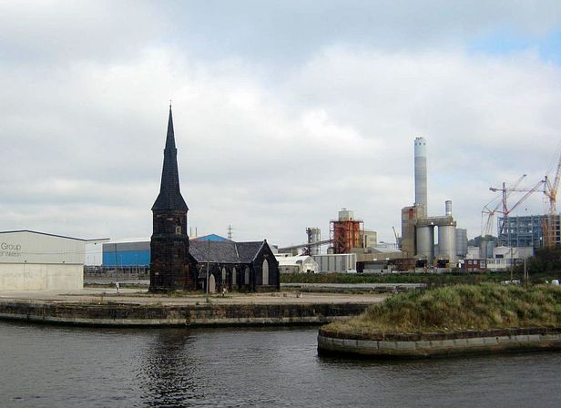
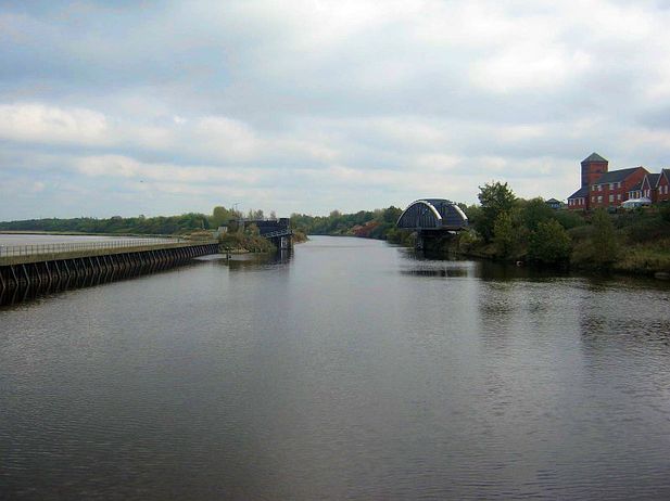
Rarely seen until these trips unless of course your worked the canal. The now disused dockers church, surrounded by water on 3 sides.
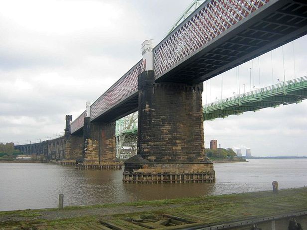
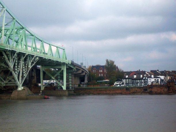
Runcorn Bridge starting to appear
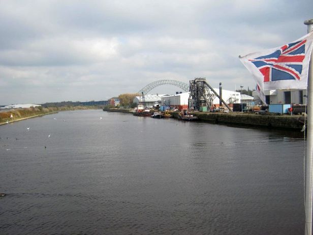
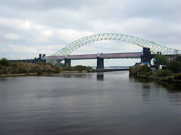
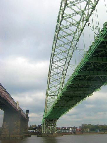
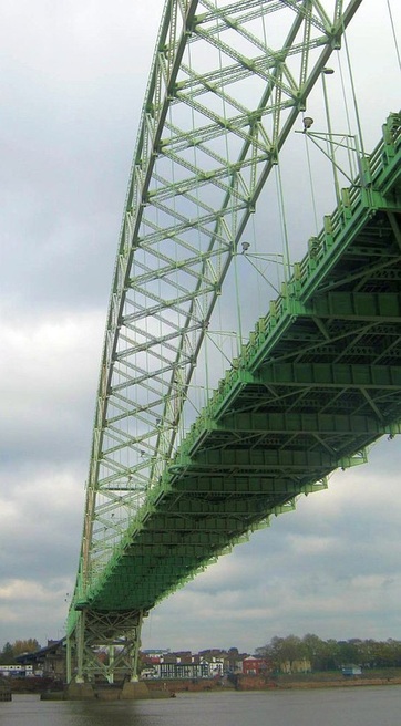
The Runcorn bridge was opened in 1961 to replace the outdated transporter bridge. It's arched span is more than 1000ft and when it was widened in 1977, it was renamed the Silver Jubilee bridge which is now its official title. It is grade II listed
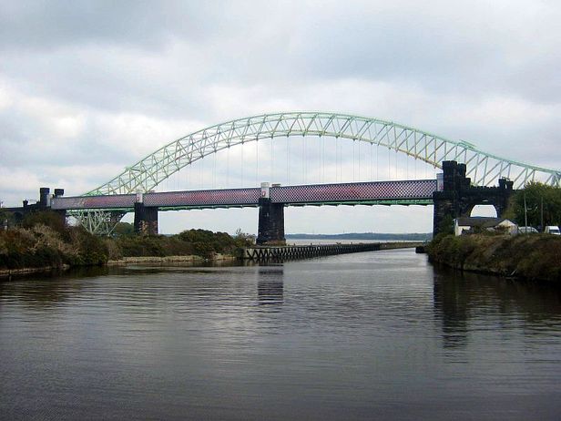
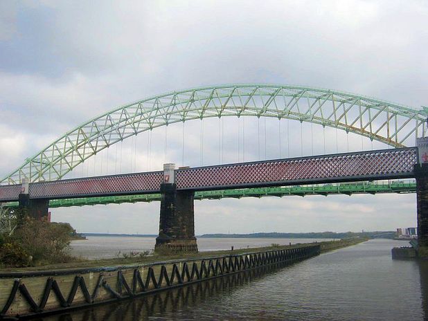
The steel girder rail bridge built on ornate stone pillars with turrets and the suspended road bridge alongside it
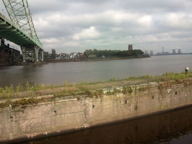
Two more of Ged's pics.Looking over towards Widnes and Spike Island where the Catalyst Museum is. If you zoom in, at the bottom of the steep road which runs to the black and white building, you can still see where the old Transporter bridge ran from and its stone ticket office. Built in 1905, it was the very first transporter bridge and ceased to run in 1961 when the new road bridge opened
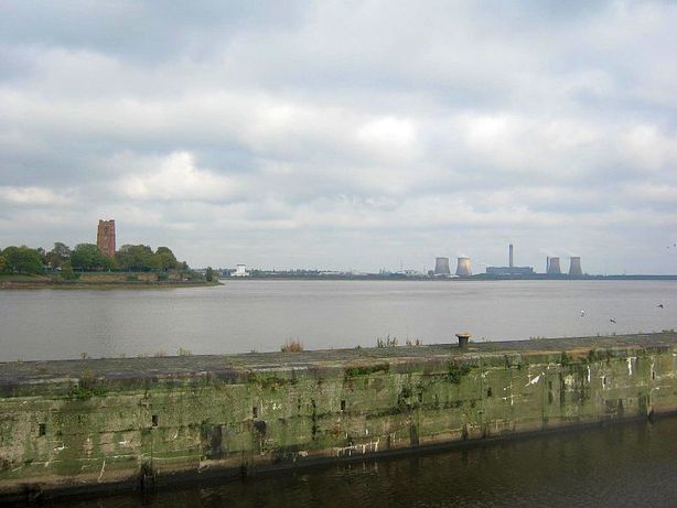
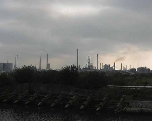
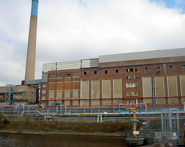
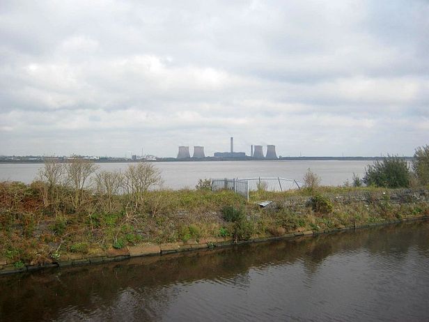
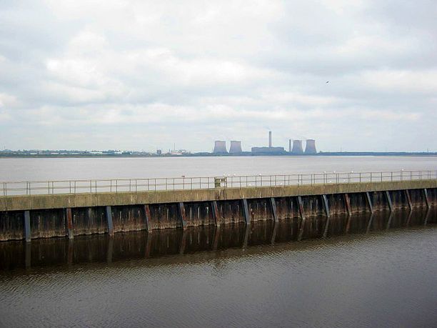
Fiddlers Ferry power station. Remember that coal earlier being discharged from the vessel 'Clyde', well that was heading to here
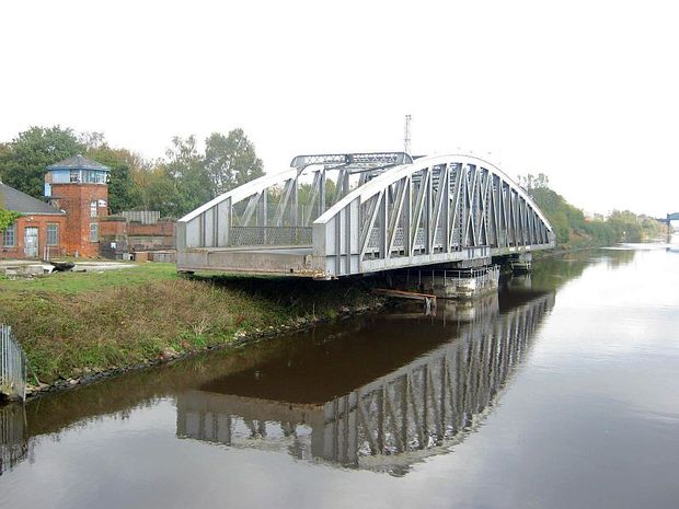
Now we are on the other side of the bridge. These apartments are in Runcorn and up ahead the swing bridge is opening for us
The swing bridge now fully open
On we go
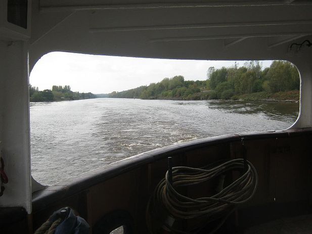
From the rear of the ferry
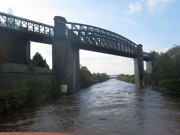
Through another swing bridge and under a railway bridge. Amazing how they built these
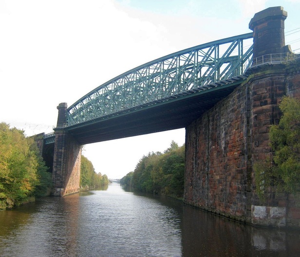
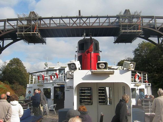
Going under a high level bridge and looking back towards it
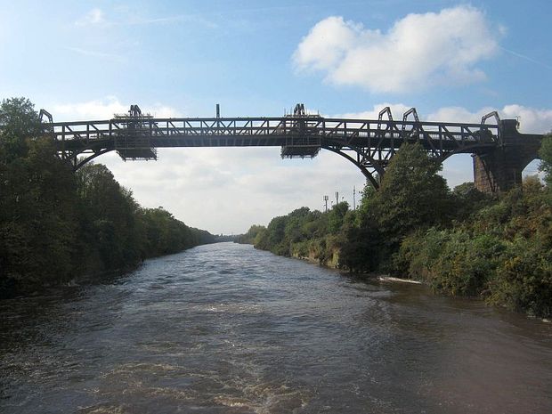
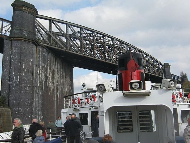
Another huge railway bridge and again looking back after we pass under
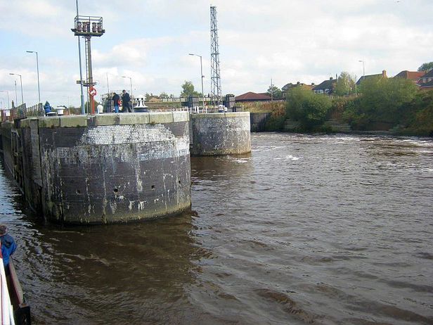
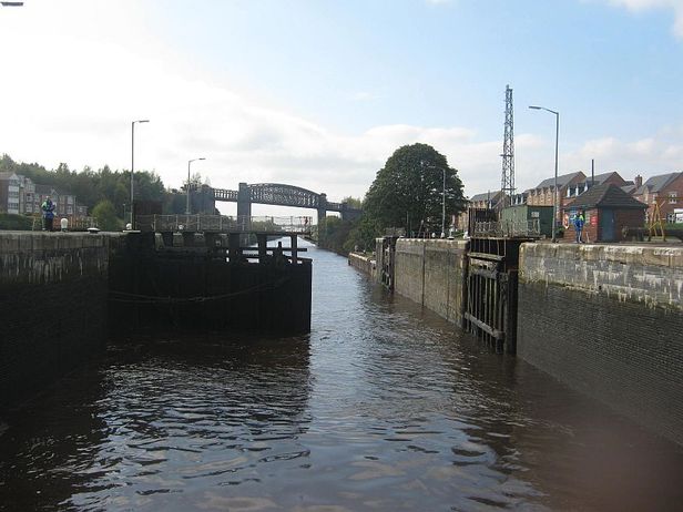
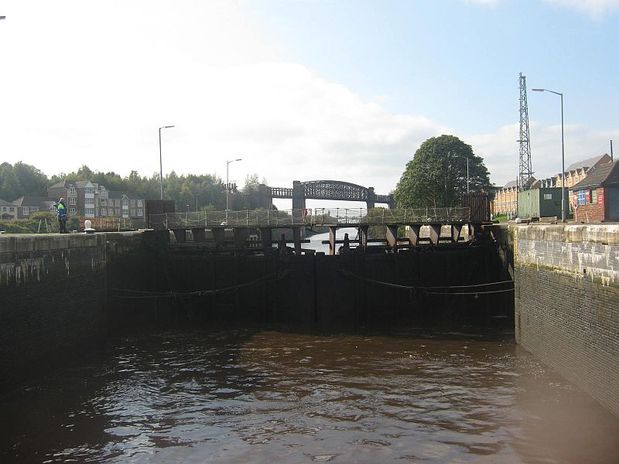
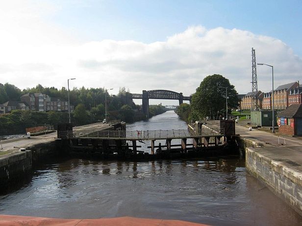
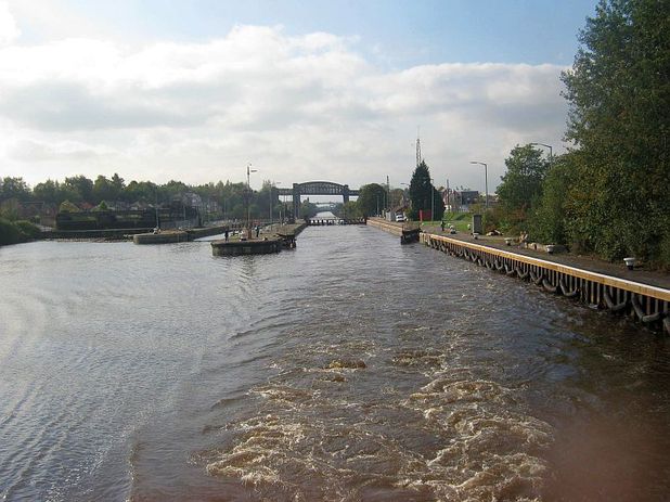
Entering Latchford high level locks
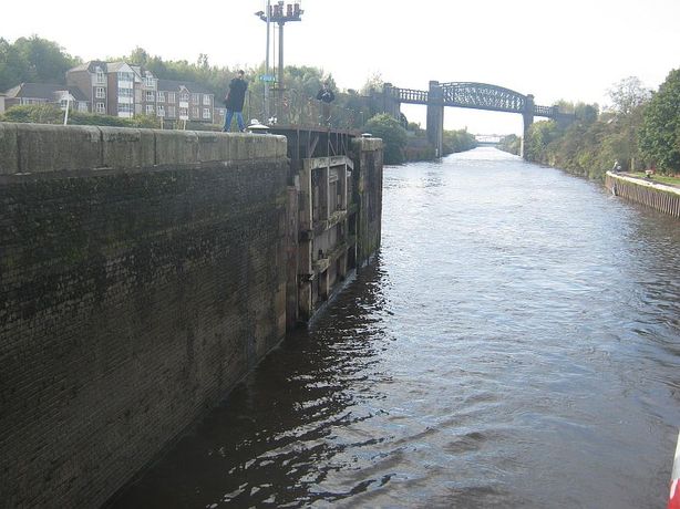
Obviously because land levels fluctuate and canals are flat and cannot run uphill or downhill, Lock systems are inevitably going to be along its route. Notice the water level when entering Latchford Lock and see the waterstaining mark on the inside of the lock walls where the water level rises too, then look at the level when we leave. You could feel the ferry rising. It's amazing how this ancient technology has stood the test of time and is still used today
The height the water rises too
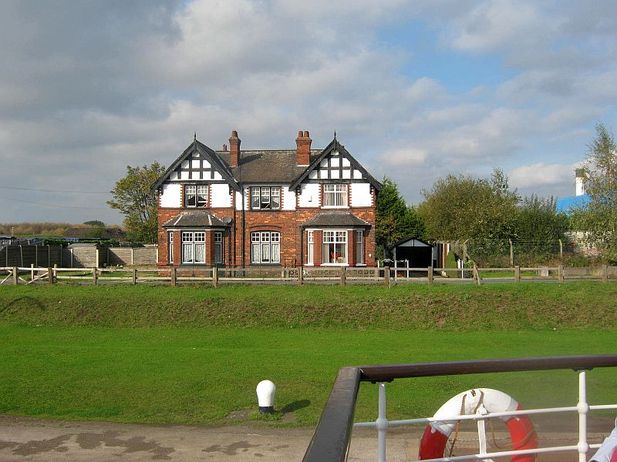
The old Lock Keepers houses
And off we go!!!
